Mesfin H. Tewolde
Civil Engineer & Hydrologist [EUR ING MPQF SCNAT ]
Software connaissance
Grand Ethiopian Renaissance Dam (GERD) Current Status (2023), Volume Analysis
Notes on :
Advanced Hydrological Techniques: A Case Study of the Grand Ethiopian Renaissance Dam
Analysis of potential flood hazard areas of the KZN Province of South Africa, using ArcGIS
The floods in the KZN Province of South Africa that occurred in 1987 suggest that the watersheds analyzed using ArcGIS for the area at potential flood risk zone are correct.
Check out the video of the KZN flood that happened in 1987 (video here) and see the KZN potential flood hazard zone analysis that was done using ArcGIS considering the annual rainfall of 2022 in the Tugela and Umegeni watersheds ( video here )
Notes on: Flood Risk Management and Groundwater Potential in Urban Planning
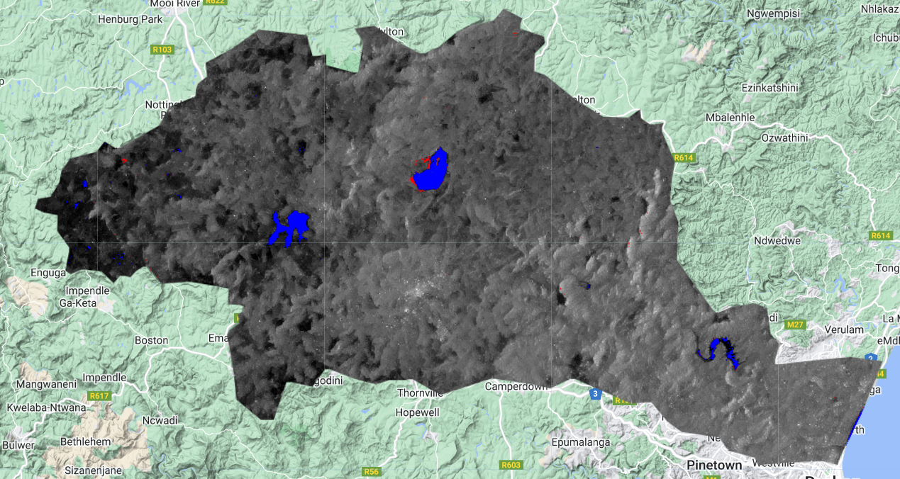
Flood Inundation of Umgeni Catchment KZN Province, SA, App link
Before date range: ‘2022-01-01’, ‘2022-01-28’
After date range: ‘2022-02-01’, ‘2022-04-30’
Virtual Indundation Demonstration
Tugela Catchment, KZN, SA
Umgeni River 2D HEC-RAS Analysis Result, KZN Province, SA
Reservoir routing with
HEC-HMS
Reservoir Routing Analysis
of
The Grand Ethiopian Renaissance Dam (GERD)
using Spreadsheet
Reservoir Routing Analysis
of
The Grand Ethiopian Renaissance Dam (GERD)
using HEC-HMS
QSWAT Model Run and Analysis, Thukela Catchment,
KZN Province, South Africa
Differences were observed while running ARCSWAT and QSWAT exercises with same data
Data preparation for HEC-RAS (Long reaches)
Running HEC RAS model with real data HD


