Mesfin H. Tewolde
Civil Engineer & Hydrologist [EUR ING MPQF SCNAT ]
© 2026 All rights reserved.
Archives
Reservoir Routing with HEC-HMS
Reservoir routing with HEC-HMS
Running HEC RAS model with real data HD
How to Map flooding using HEC-RAS
HEC-RAS ANALYSIS
Flooding can happen whenever flowing water surpasses its bank full stage and eventually inundate the surrounding adjacent areas. These may perhaps take place during the course of intense rainfalls and when a significant amount of snow melts. In conjunction with inundation, the increase of flow velocity may possibly erode and cause damage to fragile riverbanks…
Curve Number Grid Preparation in GIS
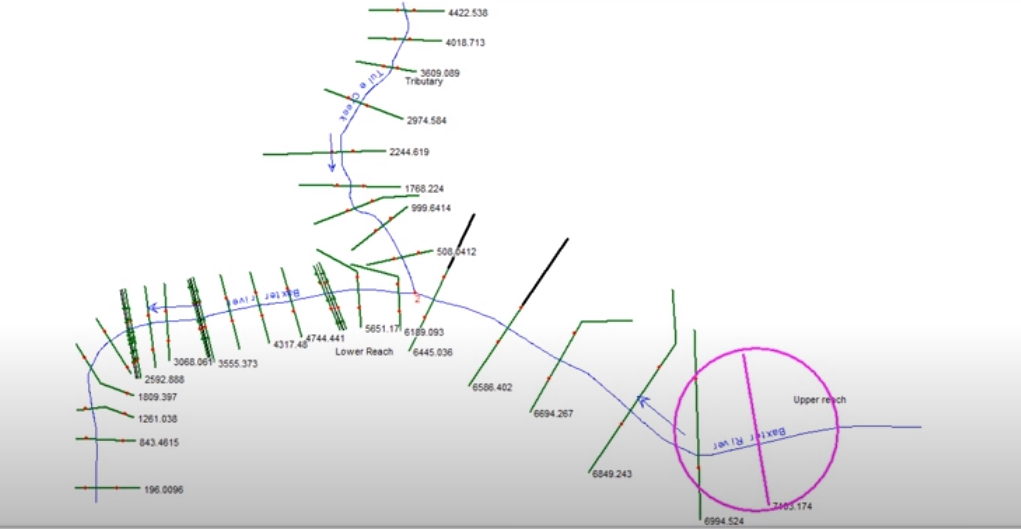
Data preparation for HEC-RAS (Long reaches)
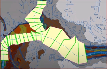
Flood Mapping with HEC-GEORAS
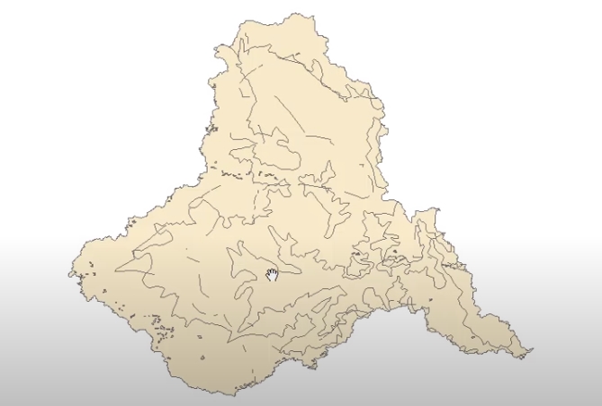
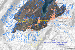
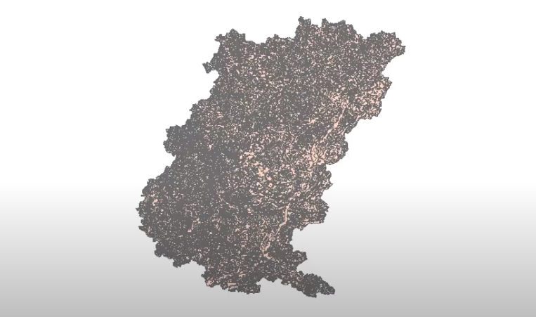
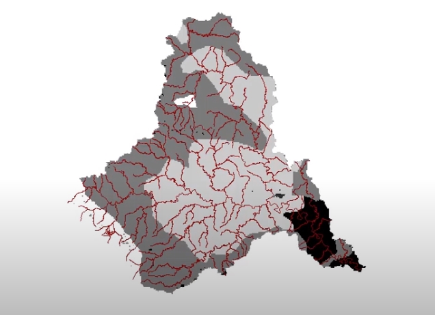
Tugela Catchment study
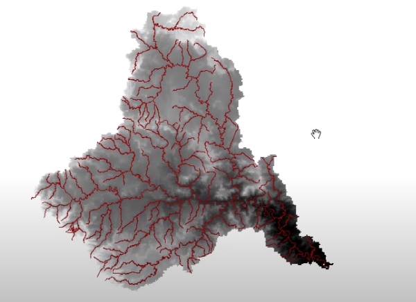
HEC-GeoHMS (Tugela Catch)
Running HEC-HMS for Tugela catchment